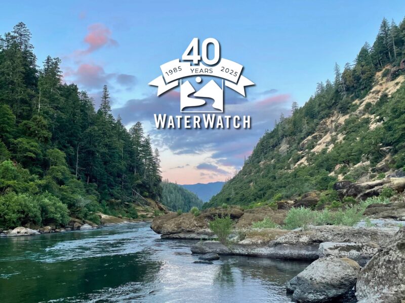

Early Bird Pricing for Our 40th Anniversary Celebration Has Closed
Our discounted early bird ticket pricing for WaterWatch’s 40th Anniversary Celebration and Annual Auction has now closed. Don’t worry — you still have up to a day before our 40th Anniversary Event on Saturday, Nov. 1st, to purchase tickets at our regular rate of $150 per ticket. Purchase your tickets here. Plan now to join us Nov. 1st […]
Early Bird Pricing for Our 40th Anniversary Celebration Has Closed Read More »